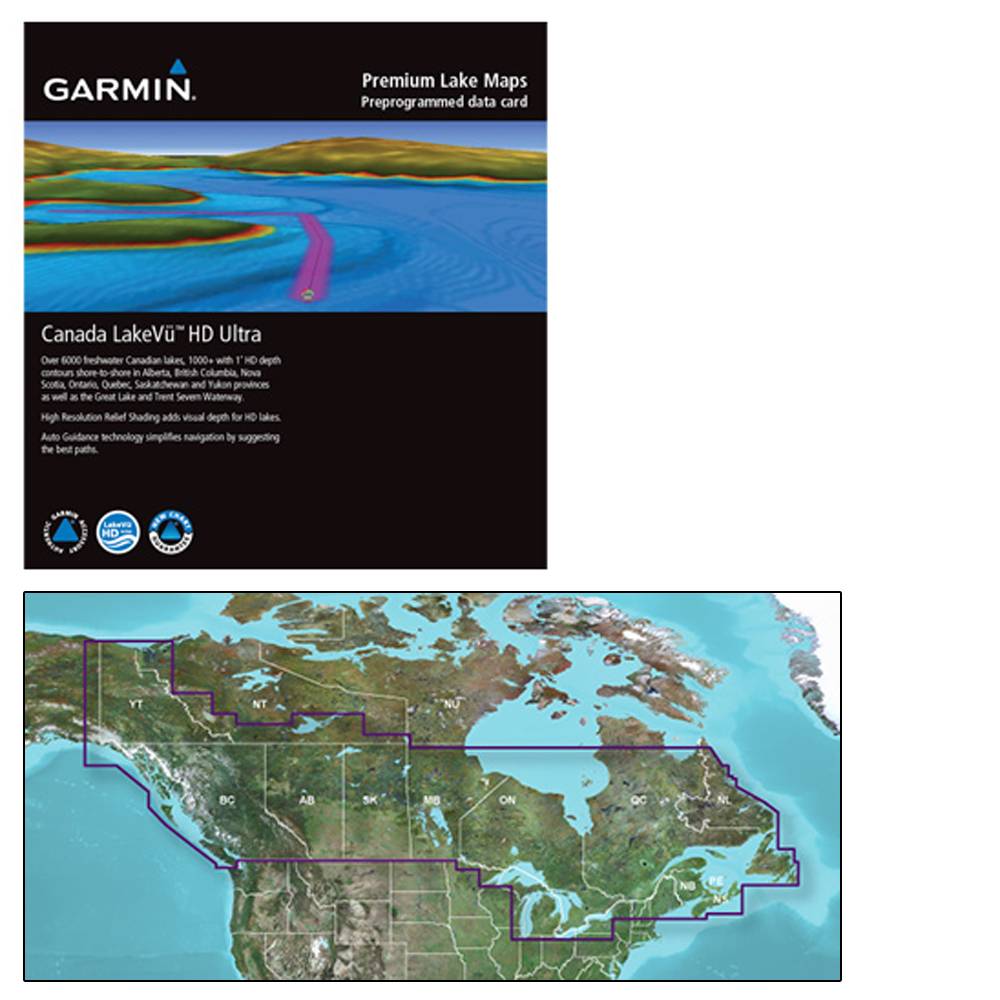
Canada LakeVü™ g3 Ultra - LVCA100F - microSD™/SD™ - Garmin 010-C1114-00
Canada LakeVü™ g3 Ultra - LVCA100F - microSD™/SD™
The Premier Freshwater Fishing Map
- Industry-leading coverage, clarity and detail with updated inland maps that feature integrated Garmin and Navionics® content
- Coverage for more than 13,500 total lakes, of which more than 4,800 have up to 1’ contours
- Auto Guidance¹ technology quickly calculates a suggested route by using your desired depth and overhead clearance
- High-resolution Relief Shading makes it easier to see contours and find fish holding structure
- Depth Range Shading for up to 10 depth ranges enables you to view your target depth at a glance
Experience unparalleled coverage and brilliant detail when you’re on the water. Canada LakeVü g3 Ultra inland maps provide industry-leading coverage, clarity and detail with integrated Garmin and Navionics content.
Auto Guidance
Whether you are fishing or cruising, select a spot, and get a route showing you the general path and nearby obstructions at a safe depth¹.
High-resolution Relief Shading
The High-resolution Relief Shading feature adds visual depth to the 2-D map, making it easier to interpret contours and find fish holding structure.
Depth Range Shading
This feature displays high-resolution Depth Range Shading for up to 10 depth ranges so you can view your designated target depth.
Shallow Water Shading
To give a clear picture of shallow waters to avoid, this feature allows for shading at a user-defined depth.
Dynamic Lake Level
This feature allows you to adjust your maps to the lake’s current water levels, giving you a better idea of spots that are either accessible or too shallow to explore.
FishEye View
This underwater perspective shows 3-D representation of lake bottom and contours as seen from below the waterline. Interface with sonar data for a customized view.
MarinerEye View
This view provides a 3-D representation of the surrounding area both above and below the waterline.
Access Your Charts and Maps
Download the ActiveCaptain® app to use OneChart™, which gives you access to all your charts and maps from your mobile device and even lets you purchase new ones.
¹Auto Guidance is for planning purposes only and does not replace safe navigation practices
Shipping Method – Ground (smaller items)
Standard shipping method is ground shipping with FedEx or UPS. Delivery signature is not required for ground shipments. The carrier will leave the package in the normal delivery place for your address. You may go to FedEx or UPS website to track your shipment. Occasionally, your package may not be delivered due to weather conditions or a concern for the package safety. This decision is made by the carrier. Very small items may ship USPS.
If you are purchasing multiple items from different manufacturers, your order will ship from different warehouses and may ship on different dates. We will email you all the tracking associated with your shipment once the item ships from the warehouse. If your order contains multiple ground shipments, then they may ship with a Freight carrier based on the number of items and weight.
Shipping Method – Freight
Standard shipping method for large / heavy items is with a freight carrier. Delivery signature IS required for freight shipments and you will need to be present during your delivery time window. For residential deliveries, the freight carrier will contact you to schedule delivery date. You may go to the freight carrier’s website to track your shipment.
If you are purchasing multiple items from different manufacturers, your order will ship from different warehouses and may ship on different days. We will email you all the tracking associated with your shipment.
Freight shipments are curbside delivery.
Upon delivery, if you notice any damage to the box/item you MUST note this on the delivery receipt.
| Manufacturer Part Number | 010-C1114-00 |
|---|---|
| Brand | Garmin |