BlueChart® g3 HD - HXEU013R - Italy Southwest & Tunisia - microSD™/SD™ - Garmin 010-C0771-20
BlueChart® g3 HD - HXEU013R - Italy Southwest & Tunisia - microSD™/SD™
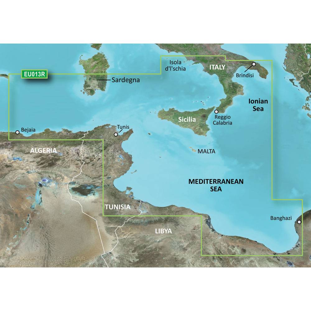
Coverage:
Italian coast: from Isola d'Ischia, south to Reggio Calabria, northeast to Brindisi, including Sicilia and southern part of Sardegna. African coast: from Golfe de Bejaia, Algeria to Banghazi, Libya.
Unparalleled Coastal Chart Coverage
- Provides industry-leading coverage, clarity and detail with updated coastal charts that feature integrated Garmin and Navionics® data
- Auto Guidance¹ technology calculates a route using your desired depth and overhead clearance and provides a suggested path to follow
- Includes Depth Range Shading for up to 10 depth ranges, enabling you to view your target depth at a glance
- Up to 1’ contours provide a more accurate depiction of the bottom structure for improved fishing charts and navigation in swamps, canals and marinas
- NOAA raster cartography is available as a free downloadable feature via the ActiveCaptain® app
BlueChart g3 coastal charts provide industry-leading coverage, clarity and detail with integrated Garmin and Navionics data. Also included is Auto Guidance1 technology, which uses your desired depth and overhead clearance to calculate routes and provide a suggested path to follow — overlaid onto your chart. NOAA raster cartography is also available as a free downloadable feature via the ActiveCaptain app. It gives your chartplotter paper chartlike views of NOAA-surveyed areas in which individual points of interest are labeled with corresponding longitude and latitude information. Worldwide coverage is available by regions as accessory cards or via download; each region is sold separately.
Auto Guidance Technology
The Auto Guidance feature¹ calculates a suggested route using your desired depth and overhead clearance.
Depth Range Shading
This feature displays high-resolution Depth Range Shading for up to 10 depth ranges so you can view your designated target depth.
Detailed Contours
BlueChart g3 charts feature 1’ contours that provide a more accurate depiction of bottom structure for improved fishing charts and enhanced detail in swamps, canals and port plans.
Shallow Water Shading
To aid in navigation, Shallow Water Shading allows map shading at a user-defined depth to give a clear picture of shallow waters to avoid.
NOAA Raster Cartography
This feature gives your chartplotter paper chartlike views of NOAA-surveyed areas in which points of interest are labeled with corresponding longitude and latitude information.
¹Auto Guidance is for planning purposes only and does not replace safe navigation practices. Auto Guidance is not included in preloaded BlueChart g3 for ECHOMAP™ Plus series chartplotters
Shipping Method – Ground (smaller items)
Standard shipping method is ground shipping with FedEx or UPS. Delivery signature is not required for ground shipments. The carrier will leave the package in the normal delivery place for your address. You may go to FedEx or UPS website to track your shipment. Occasionally, your package may not be delivered due to weather conditions or a concern for the package safety. This decision is made by the carrier. Very small items may ship USPS.
If you are purchasing multiple items from different manufacturers, your order will ship from different warehouses and may ship on different dates. We will email you all the tracking associated with your shipment once the item ships from the warehouse. If your order contains multiple ground shipments, then they may ship with a Freight carrier based on the number of items and weight.
Shipping Method – Freight
Standard shipping method for large / heavy items is with a freight carrier. Delivery signature IS required for freight shipments and you will need to be present during your delivery time window. For residential deliveries, the freight carrier will contact you to schedule delivery date. You may go to the freight carrier’s website to track your shipment.
If you are purchasing multiple items from different manufacturers, your order will ship from different warehouses and may ship on different days. We will email you all the tracking associated with your shipment.
Freight shipments are curbside delivery.
Upon delivery, if you notice any damage to the box/item you MUST note this on the delivery receipt.
| Manufacturer Part Number | 010-C0771-20 |
|---|---|
| Brand | Garmin |